Hurricane Erin Becomes Historic Storm as It Rapidly Intensifies to Category 5
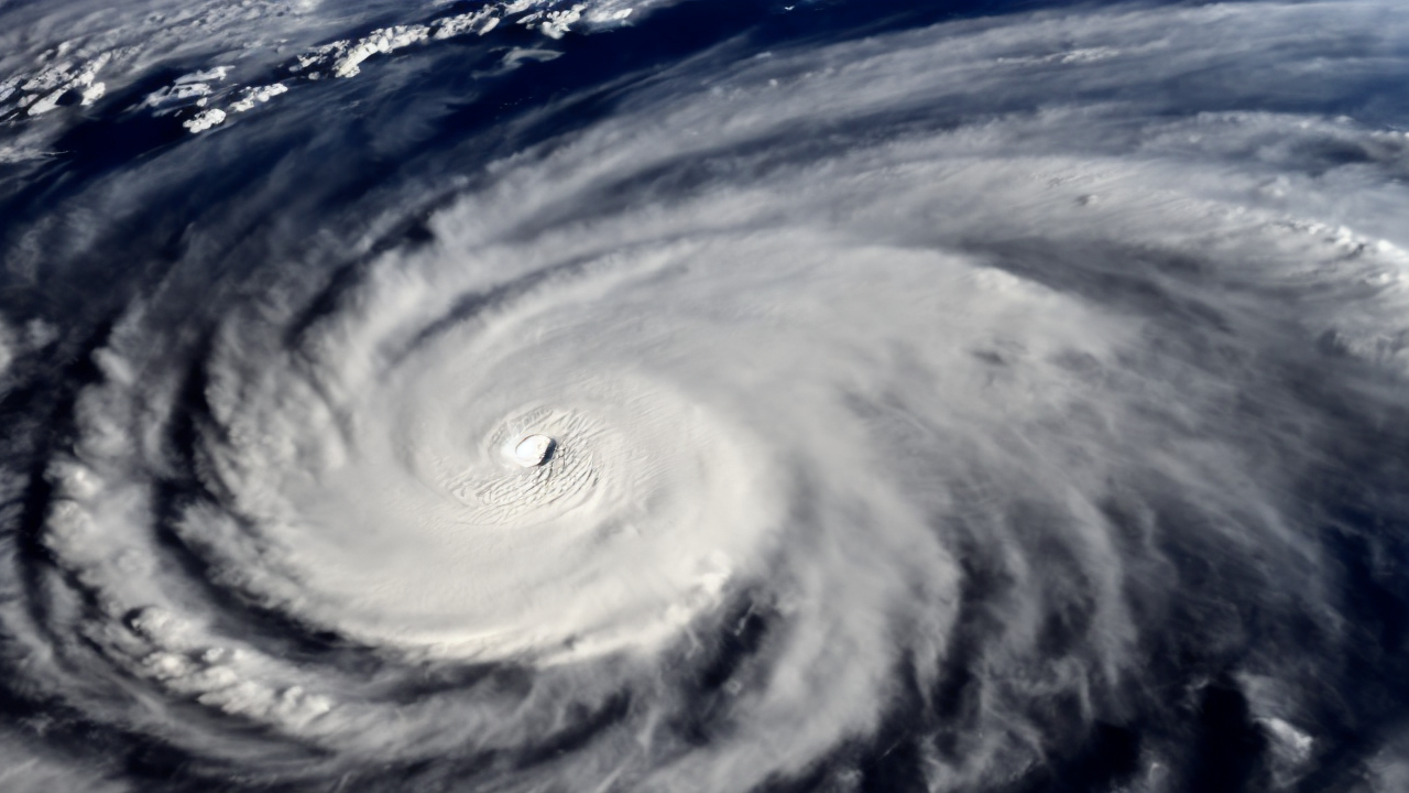
Hurricane Erin has made history as one of the most rapidly intensifying Atlantic hurricanes on record, reaching Category 5 status with sustained winds of 160 mph. The storm, which formed just two days ago, has seen its central pressure drop by an unprecedented 70 millibars in 24 hours, making it the fastest-intensifying hurricane before September 1 in the Atlantic basin. Erin’s central pressure of 917 mb places it as the second-most intense Atlantic hurricane in the past 50 years, behind only Hurricane Allen in 1980. Fortunately, Erin’s projected path keeps it far enough from land to avoid catastrophic damage. The storm is currently moving north of the Caribbean islands and is expected to turn northward before reaching the Bahamas and the eastern United States. Forecasters express confidence in this track, though the storm’s rapid growth underscores a concerning trend linked to climate change. Scientists warn that while the total number of hurricanes may not increase, the frequency of intense storms like Erin is likely to rise. Studies suggest that the proportion of Category 4 and 5 hurricanes has already increased, with more extreme rainfall rates and storm surges expected in the future. Despite this season’s slower start, Erin’s intensity is expected to push the season’s accumulated cyclone energy to above-normal levels. As forecast models predict the development of more hurricanes in the coming weeks, the potential for land impacts remains uncertain. Erin’s remarkable strength serves as a reminder of the growing threats posed by climate change to global weather patterns.
Published: 8/16/2025

